Bolster Your Decisions with Third-Party Data
SiteSeer is powered by the industry's most up-to-date and accurate data

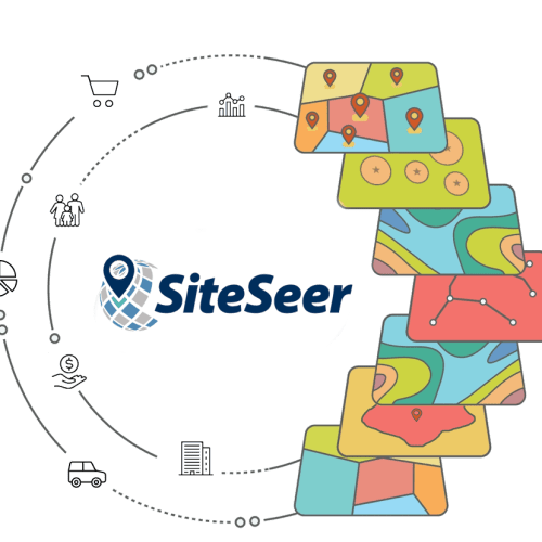
Don’t shape the future with data stuck in the past—stay current to stay ahead.
Accurate, up-to-date data is the foundation of confident decision-making. It ensures you’re working with the latest market insights, helping you identify opportunities, minimize risk, and stay ahead in a constantly changing business landscape.
Datasets
Population
Pop Estimates (Current)
Pop Projections (5, 10 year)
Seasonal
Non-residents
Migration
Births/Deaths
![]()
![]()
Visitor Foot Traffic
Consumer Visits
Visitor Statistics
Retail Trends
Top Stores
Trade Areas
![]()
![]()
Consumer Expenditures
Per Capita Spending
by Product Category
by Retail Store
Retail Potential
![]()
![]()
Healthcare
Healthcare Facilities
Healthcare Practitioners
Health Indices
Health Behaviors
Insurance
![]()
![]()
Demographics
Age
Race/Ethnicity
Languages Spoken
Religious Affiliation
Education/Enrollment
Employment
![]()
![]()
Business Locations
Retail Chains
Independent Stores
Shopping Centers
Service Businesses
Healthcare
![]()
![]()
Workplace (NAICS/SIC)
Establishments
Employees
Occupations
Salaries/Wages
Economics
![]()
![]()
Crime
Murder
Rape
Robbery
Assault
Burglary
Larceny
Auto Theft
![]()
![]()
Income
Per Capita Income
Household Income
Disposable Income
Wealth
Poverty
Social Security
![]()
![]()
Real Estate Data
Traffic Counts
Parcel Data
Property Listings
Construction / Planned Retail
Neighborhood Types
![]()
![]()
Attitudes & Behaviors
Fashion
Finance
Food and Beverage
Health
Home
Leisure
Lifestyle
Media
Pets
Shopping
Sports
Technology
Travel
Values
Vehicles
![]()
![]()
Climate
Temperature
Precipitation
Heating and Cooling
Air Pollution
Weather Risk
Natural Disasters
![]()
![]()
Households
Household Size
Family Composition
Occupancy
Rents
Home Values
Vehicle Ownership
![]()
![]()
Points of Interest
Community
Government
Transportation
Recreation
Healthcare
![]()
![]()
Lifestyle Segmentation
STI: LandScape
AGS: Panorama
AGS: Panorama Canada
Neighborhood Classifications
Lifestyle Indices
![]()
![]()
Boundaries
Census Geography
Market Boundaries
ZIP Codes
Flood Zones
Parcels
![]()
![]()
Meet our partners...
Demographics and Lifestyles


Vehicle and Foot Traffic


Retail and Business


Property Listings and Construction


Shopping Centers


